
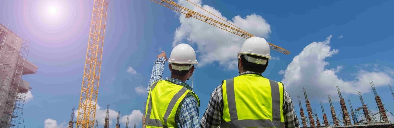
Please contact us if you require further information on any aspects of our services.
Our staffs carry out as build surveys to record variations to original design. This plans shows exactly what has been built.
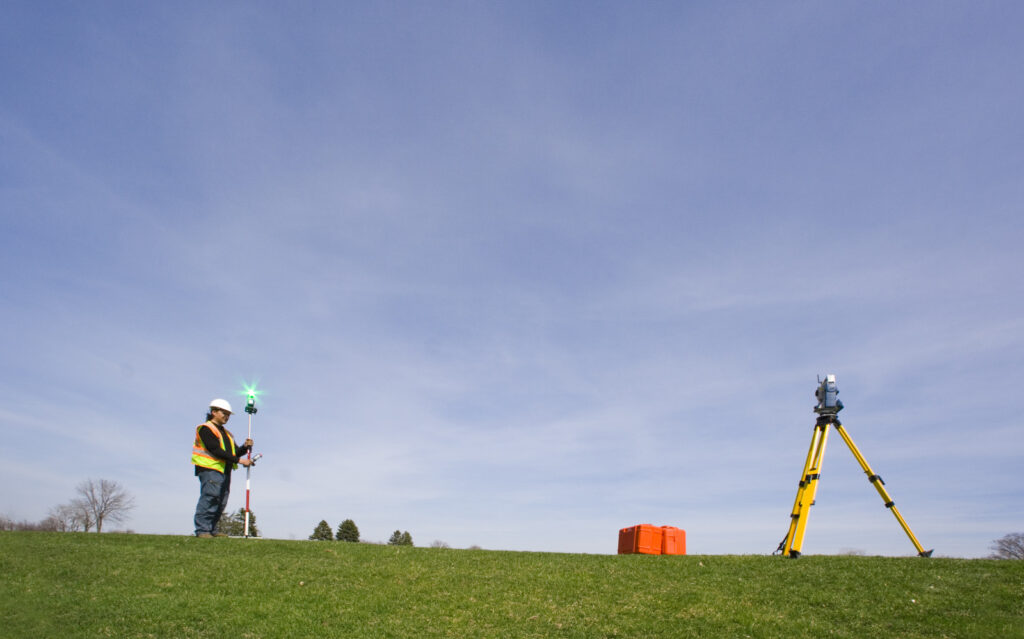
We have dedicated building surveyors who use laser instruments and data capture systems to produce measured floor plans, sections and elevations using total stations and hand held measuring lasers, we can capture all survey data and levels.
Our Floor plans, sections or elevation drawings are carried out to RICS Standards and information recorded can be used for planning permissions building extensions , area and volume computations and a basis for architectural drawings and demolitions.
With advanced survey techniques and precision instrumentation, detection of movement or deviation of any structure is possible. Data can be compiled as a 3D excel compilation.
Our staffs have experiences in the rail sector and have been involved in a variety of projects for LUL, Network rail, and private railways and all hold required certification for working in the rail environment.
We are able to provide information of underground services for environmental and design services
New buildings positions can affect existing buildings right of light. Occupies or owners of the buildings are entitled to legal compensation should this be infringed upon.
2D site plans and elevations of existing buildings and structures. Photographic records of buildings and structures around new built.
This is a new method of capturing survey data. This scanners can pick up survey detailed of building fades in minutes using co-ordinated 3D points known as point cloud data. This point cloud data is interpreted with point cloud software tools and enables to us provid
We utilise modern software and equipments to provide Topographical survey. Survey Information is provided by collecting 2D OR 3D data using our state of the art equipment’s. All survey data can be related to ordnance survey grid or arbitrary datum depending on the client specifications.


Copyright 2023. Design & Develop By Vision Ranking