

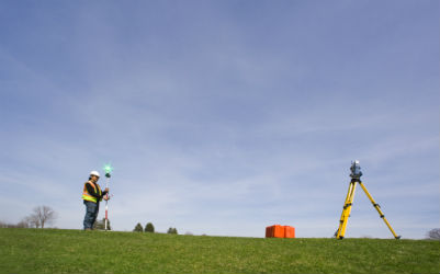
We utilise modern software and equipments to provide Topographical survey. Survey Information is provided by collecting 2D OR 3D data using our state of the art equipment’s. All survey data can be related to ordnance survey grid or arbitrary datum depending on the client specifications.
Topographical Survey information provided shows but not limited to roads, buildings, tree information, drainage information and all man- made or natural features.
We output our survey in Auto-cad 2D or 3D formats showing spot levels, heights, contours, cross sections, cut/fill information and all drawings are checked and rechecked to meet Hextra Limited Quality Standard before they are issued

We utilise modern software and equipments to provide Topographical survey. Survey Information is provided by collecting 2D OR 3D data using our state of the art equipment’s. All survey data can be related to ordnance survey grid or arbitrary datum depending on the client specifications.






Copyright 2023. Design & Develop By Vision Ranking